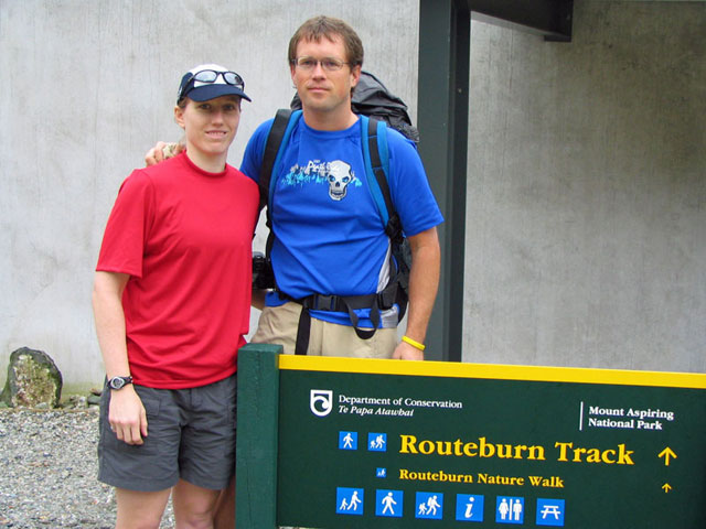
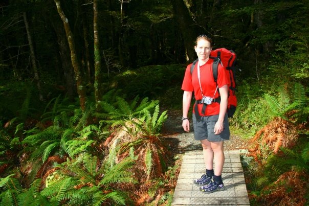
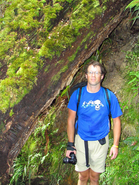
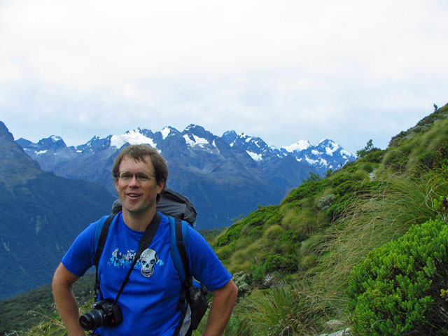
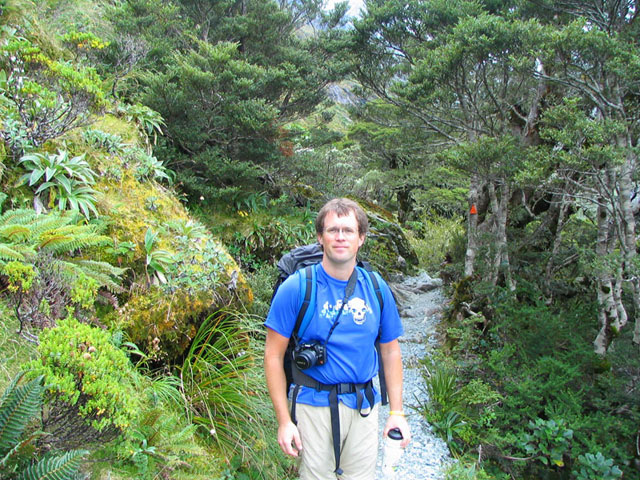
At the start of our adventure!
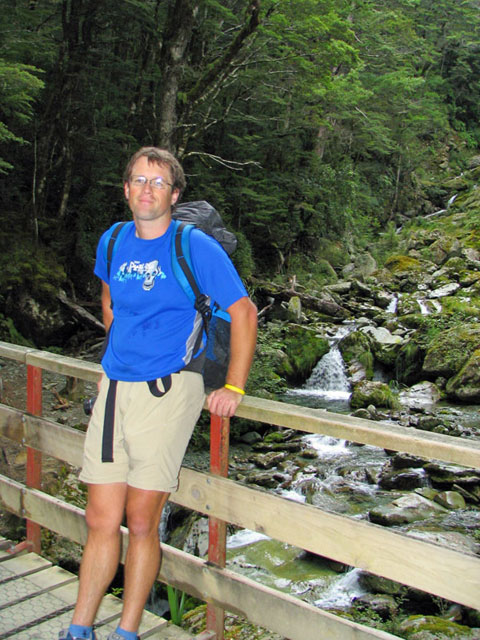
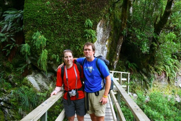
Mike on a bridge over a babbling brook. We've just barely started and it's already beautiful!

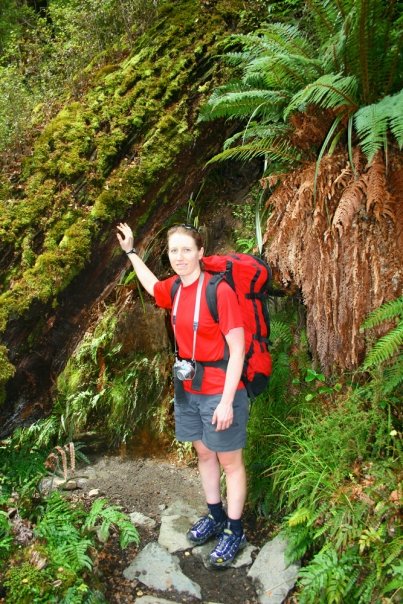
Crossing a stream early in the hike.
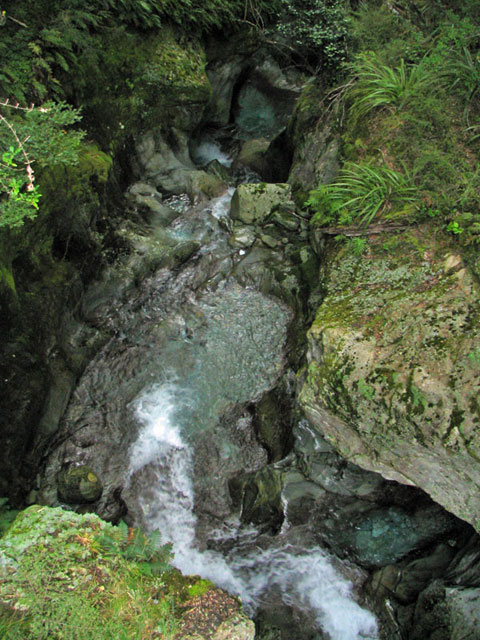
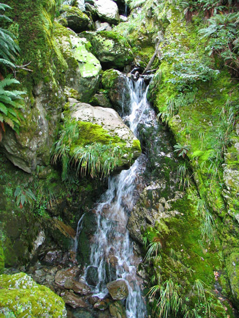
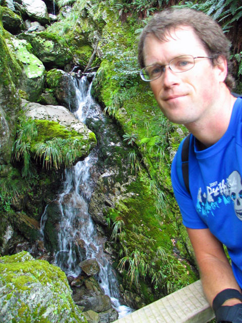
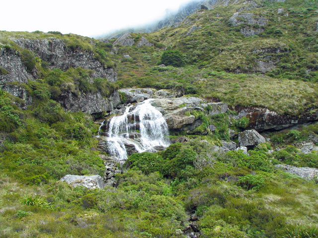
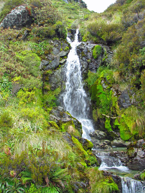
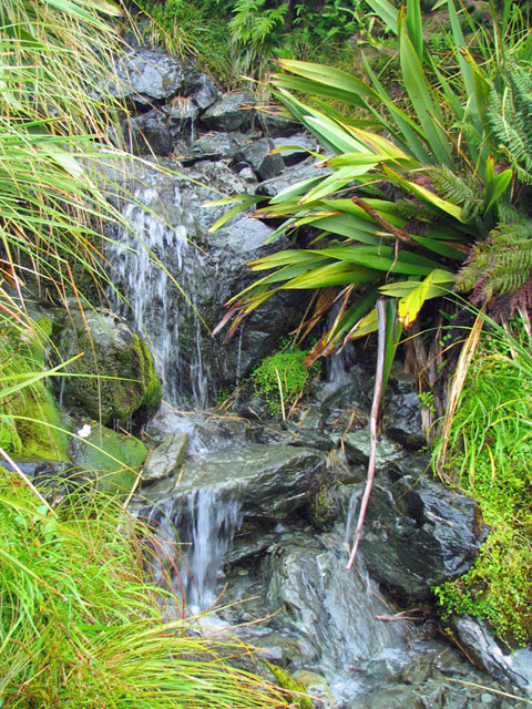
Looking down a small waterfall.
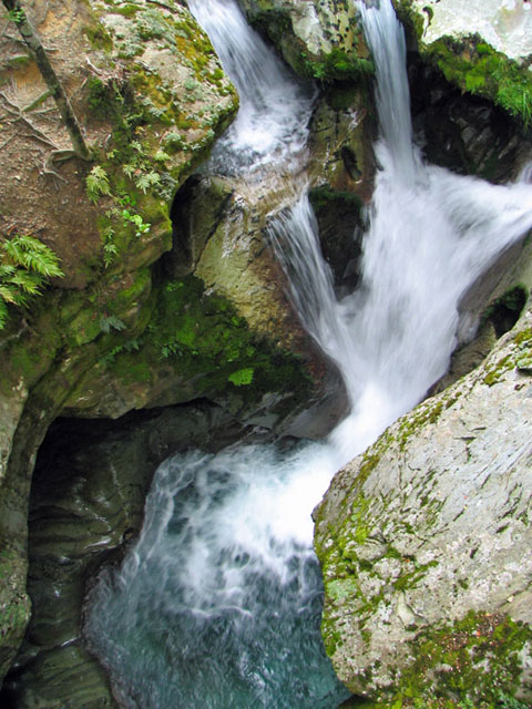
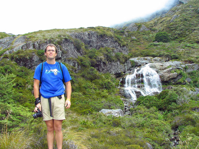
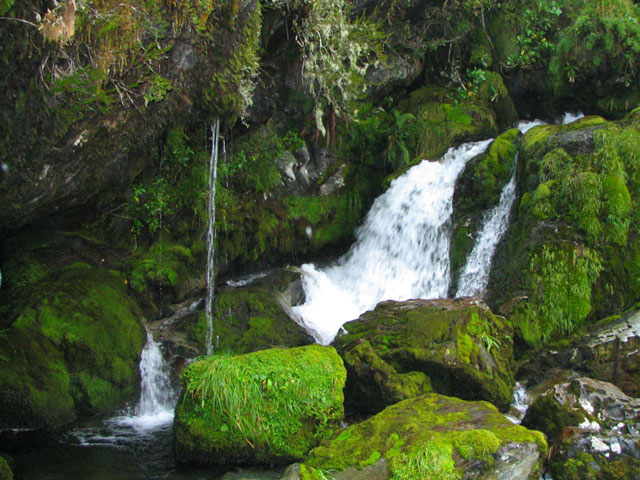
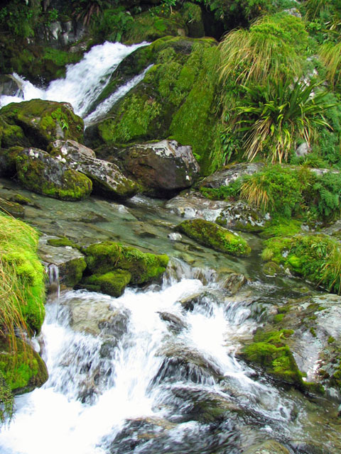
A small waterfall early on along the trail.

A small waterfall early on along the trail.
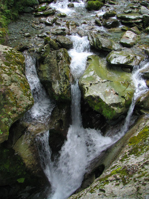
A small waterfall early on along the trail.
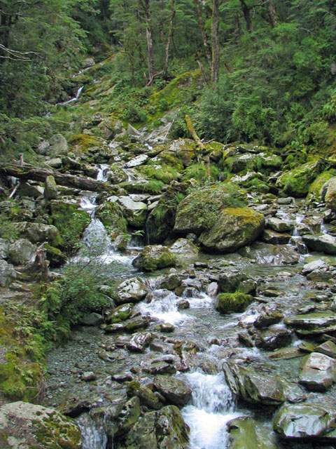
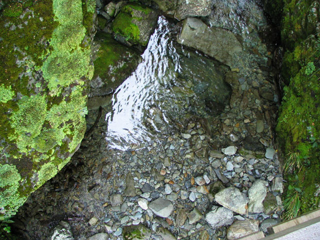
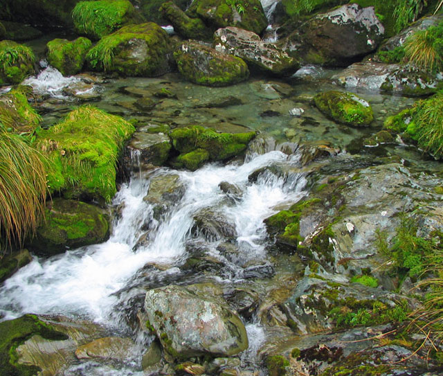
A small stream nestled into the lush surroundings!
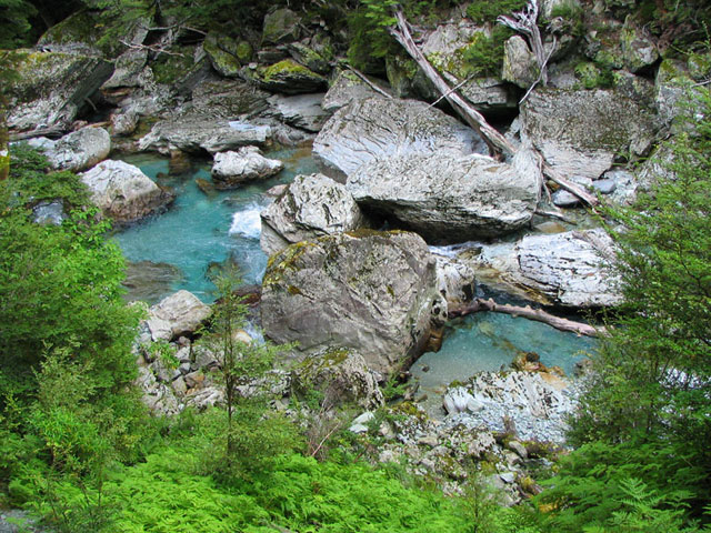
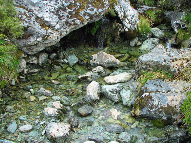
The stunningly clear and beautiful stream that we followed for a while.
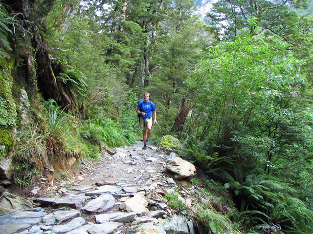
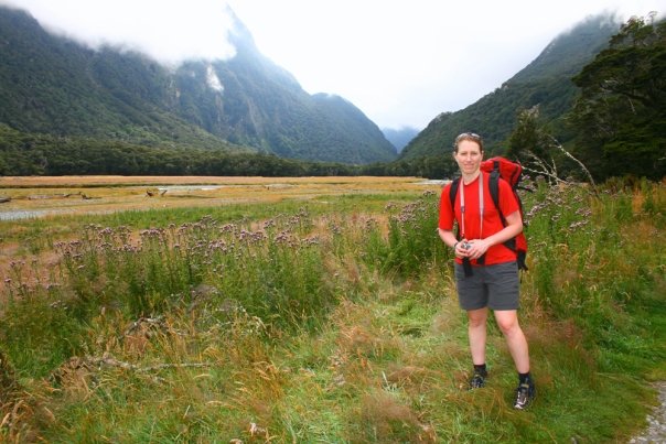
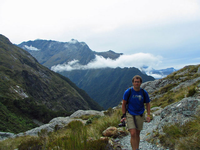
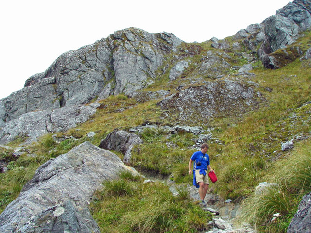
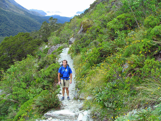
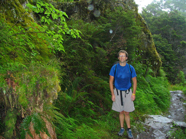
Mike coming up the trail.
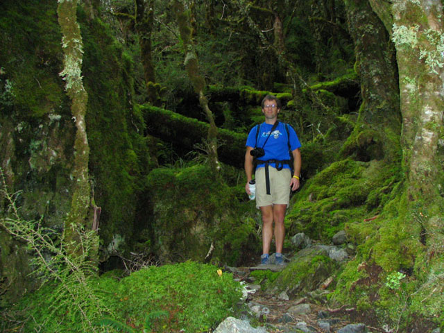
In the forest surrounded by ferns.
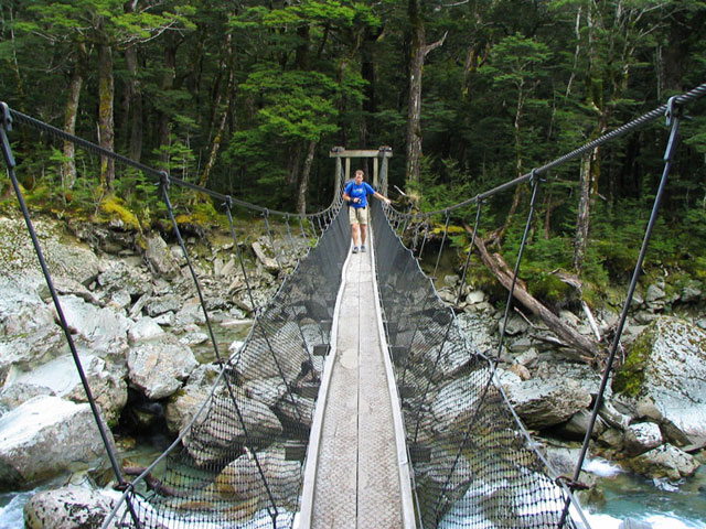
Mike on one of the many swinging suspension bridges that we had to cross.
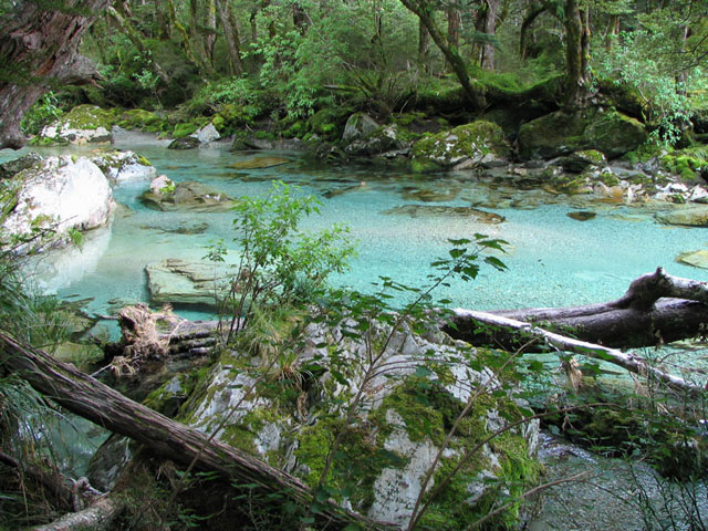
The clarity and colour of the water in the streams and pools was amazing!
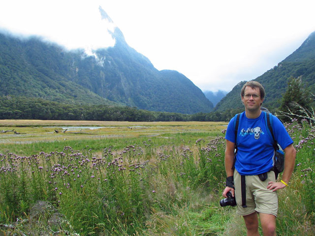
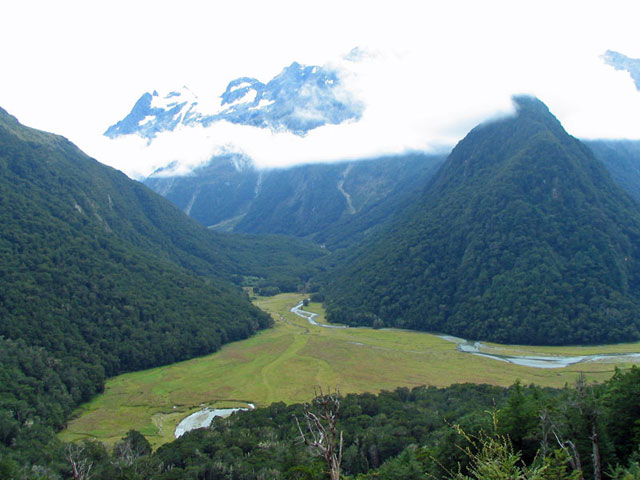
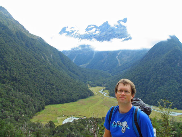
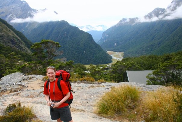
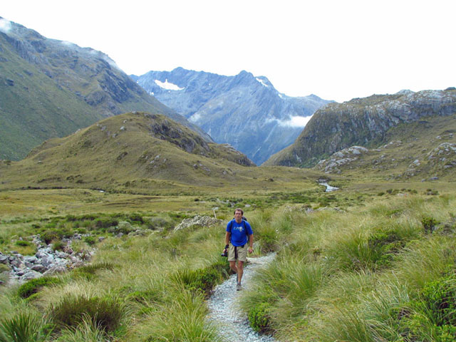
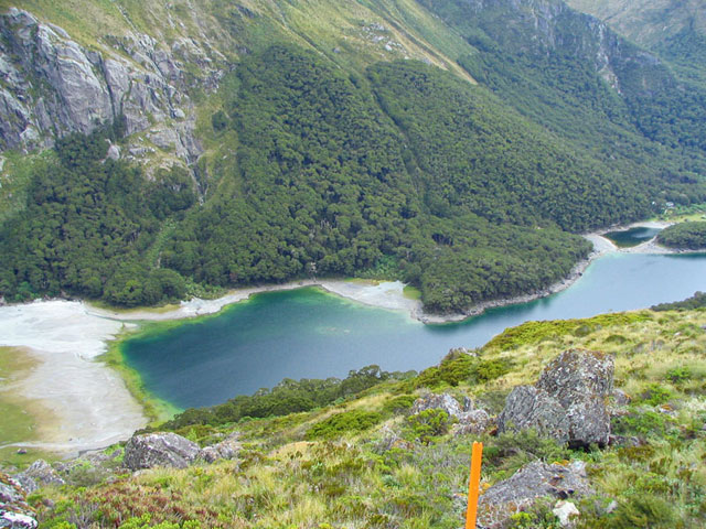
A meadow that we came to as we approached the first hut on the track. The clouds were still pertty low, so we couldn't see the tops of the mountains that surrounded us yet!
Me in the meadow.
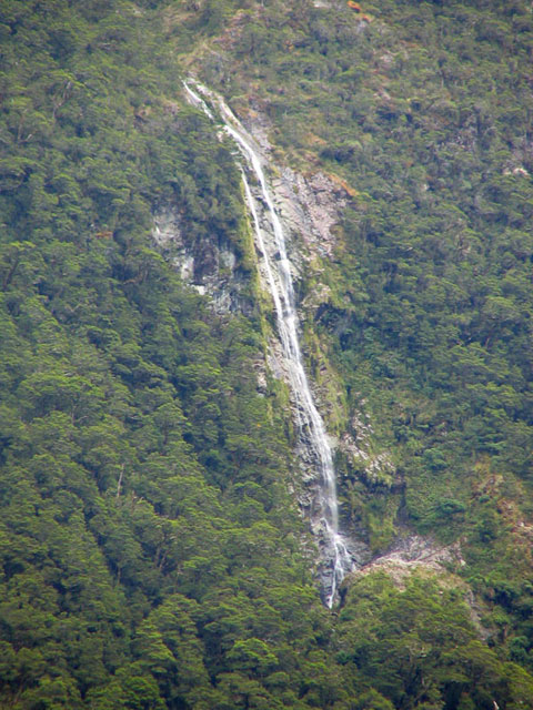
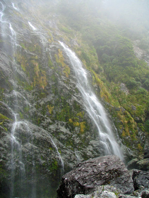
A waterfall that we could see in the distance from the meadow.
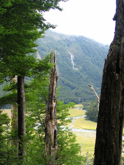
The view of the waterfall through the trees as we started to climb up towards the Routeburn Falls Hut.
Mike underneath a fallen over moss covered tree on the trail.
Me passing under the large overgrown, moss covered tree that had fallen over the trail.
Another beautiful waterfall!
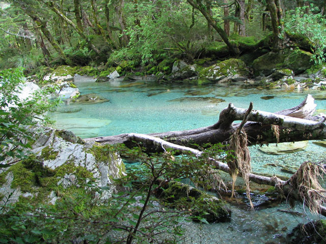
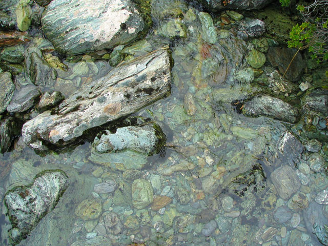
More crystal clear water!
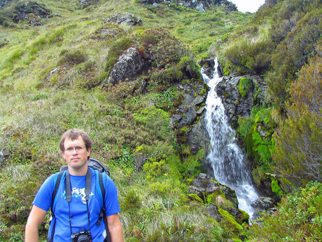
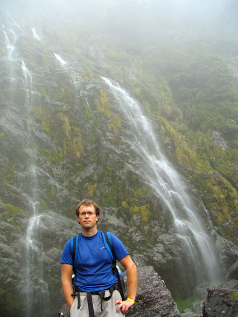
Mike in front of a waterfall.
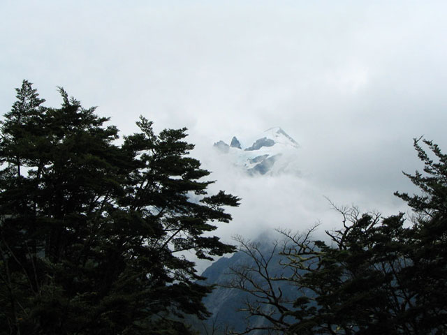
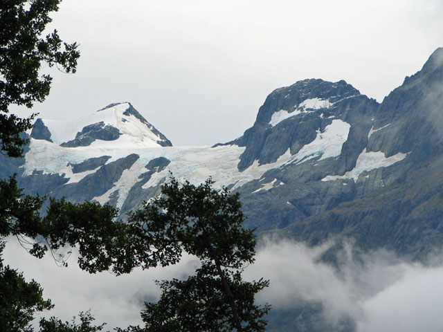
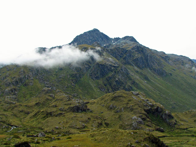
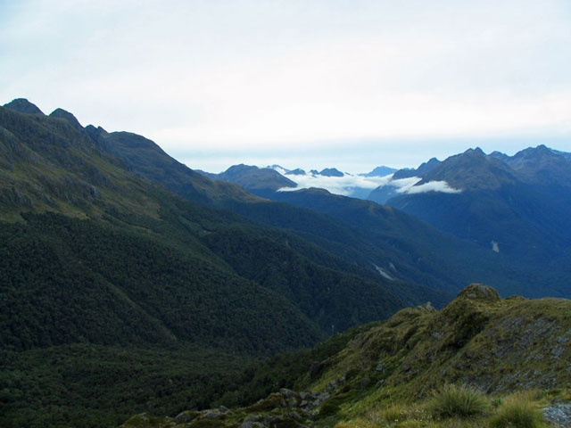
As the clouds started to lift, we caught glimpses of the sheer beauty around us! Little did we know we were amongst snow-topped mountain peaks!!
Snow capped peak poking out through the cloud.

The view of the meadow below as we climbed up towards the Routeburn Falls Hut.
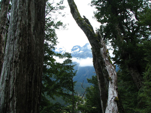
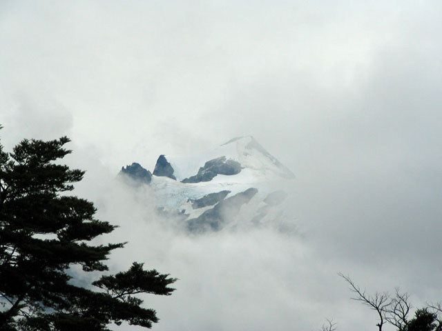
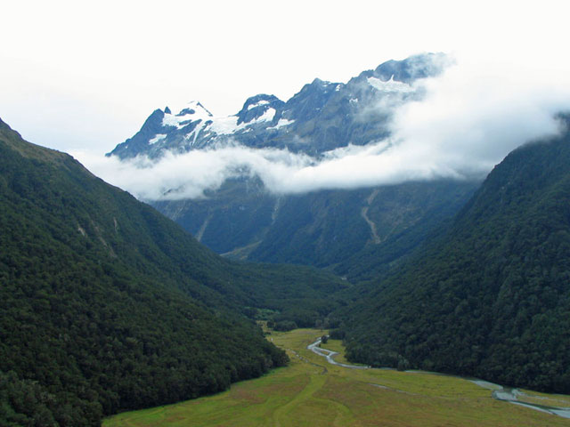
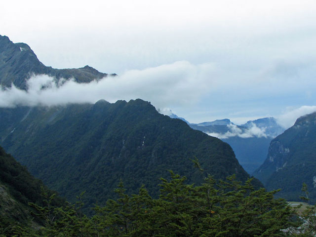
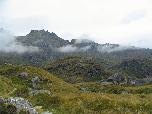
Fleeting views of the mountains through the trees and cloud.
The cloud continues to lift and we get better views of the mountains.
On a bridge near some waterfalls.
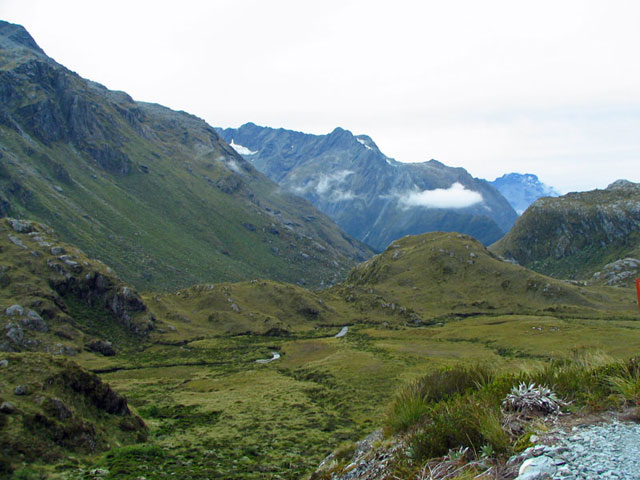
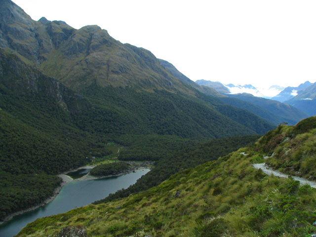
More spectacular views of where we came from as we climb up towards Routeburn Falls Hut. This photo was taken from a clearing in the trail caused by an avalanche.
More spectacular views of where we came from as we climb up towards Routeburn Falls Hut.

Mike on the trail in a section where an avalanche had taken out the trees. We got amazing views from here!
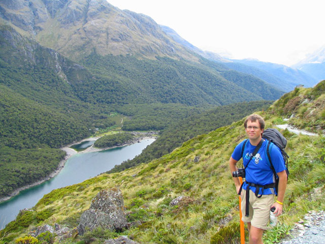
Mike with the meadow and mountains in the background.
The spectacular view just above the Routeburn Falls Hut.
Another waterfall near the Routeburn Falls Hut.
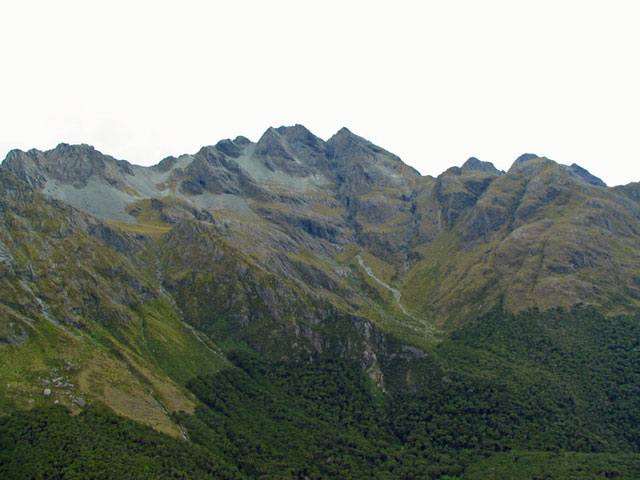
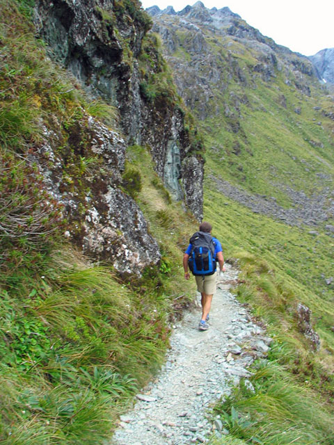
Views as we continue to climb up towards Harris Saddle.
The landscape and vegetation changes as we go higher.
Mike along the trail as we traverse a plateau.
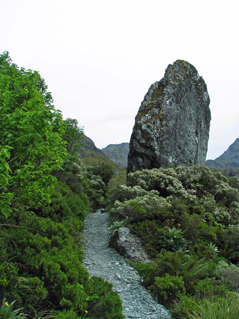
A giant slab of rock along the trail.
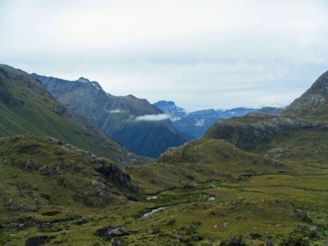
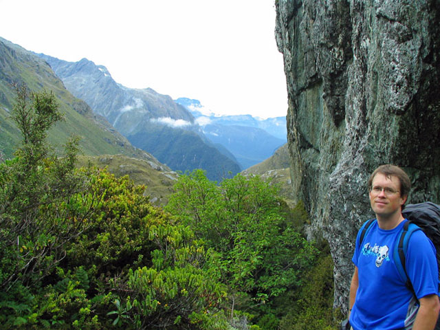
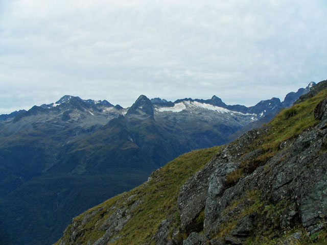
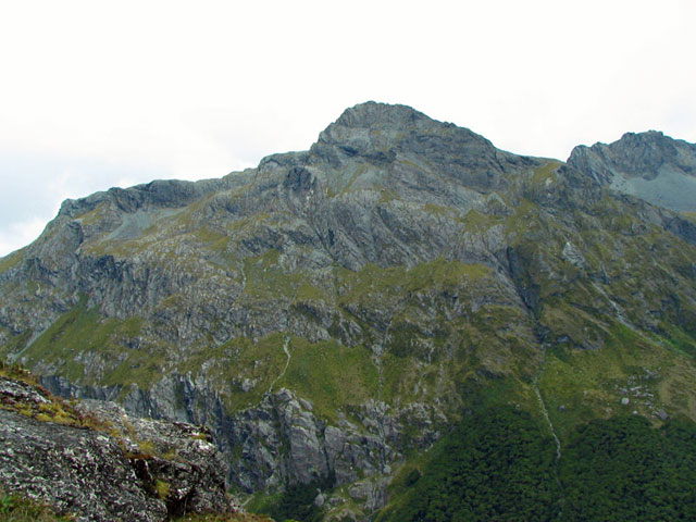
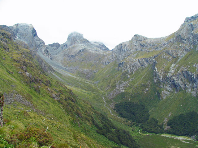
Looking back where we've hiked from - spectacular scenery!
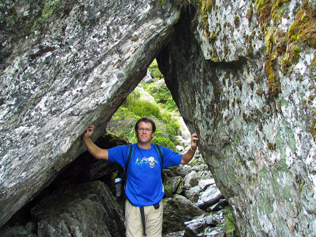
Mike under two giant slabs of rock that the trail goes through.
Mike next to the giant rock with the expansive view behind.
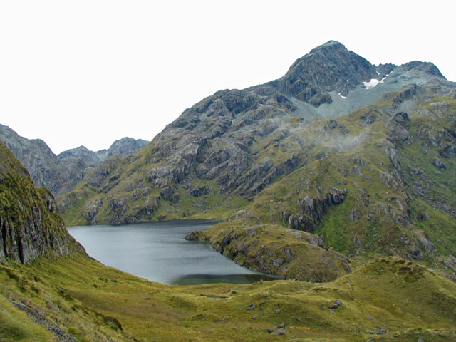
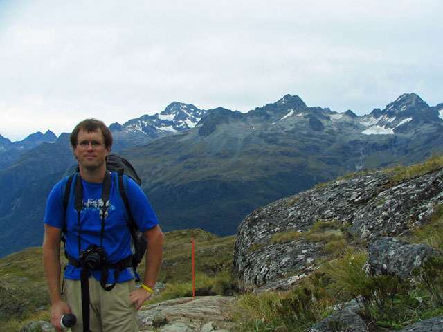
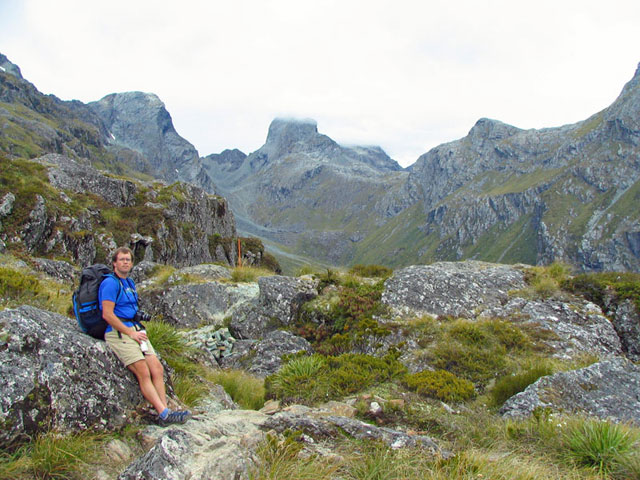
Lake Harris along the bluffs as we approach the Harris Saddle.
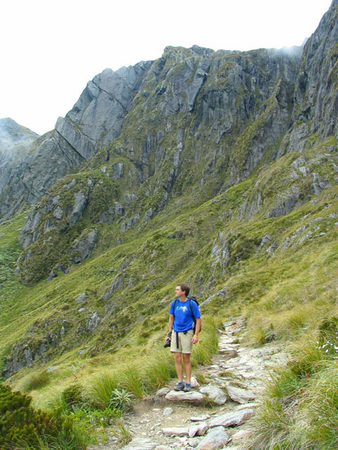
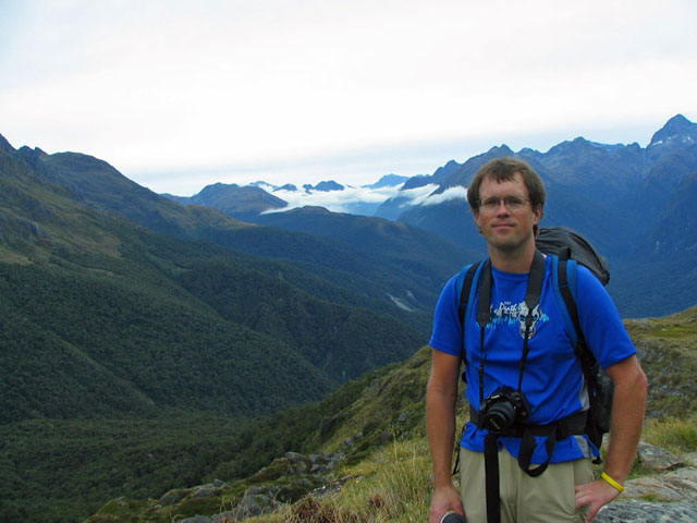
Mike taking in the view along the trail.
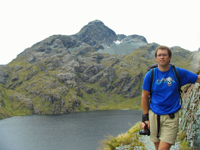
Mike with Lake Harris behind him.

Views of the mountain range on the other side of the Hollyford Valley as we get to the Harris Saddle/Tarahaka Whakatipu. The elevation is 1255 metres.
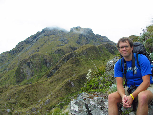
Mike on the summit of Conical Hill where we got a spectacular 360 degree view of the terrain around us.
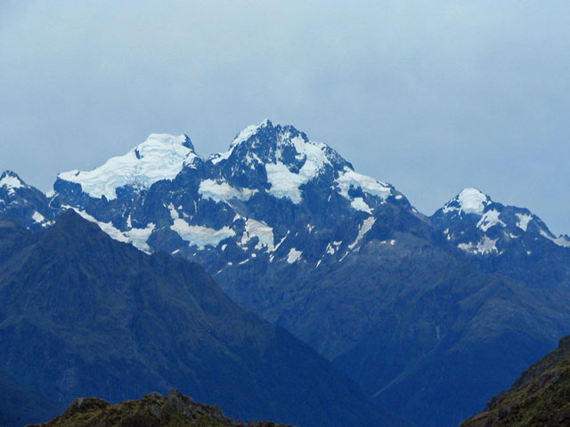
More views of snow-capped peaks from Conical Hill.
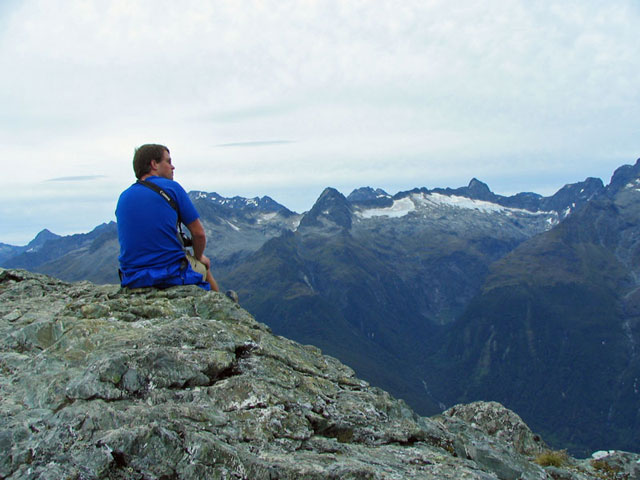
More views of snow-capped peaks from Conical Hill.
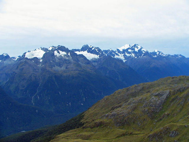
More views of snow-capped peaks from Conical Hill.
More views of snow-capped peaks from Conical Hill.
More views of snow-capped peaks from Conical Hill.
More views of snow-capped peaks from Conical Hill.
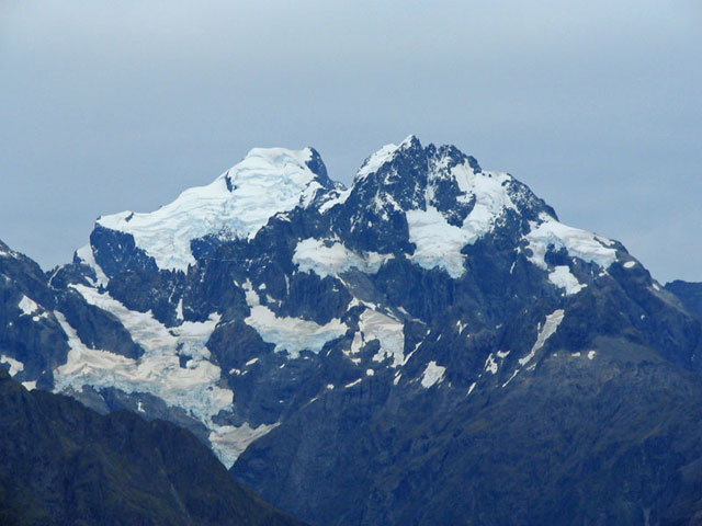
More views of snow-capped peaks from Conical Hill.
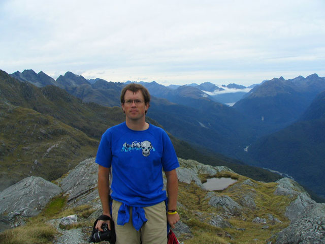
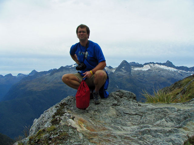
Mike on the summit of Conical Hill.

Mike on the summit of Conical Hill.
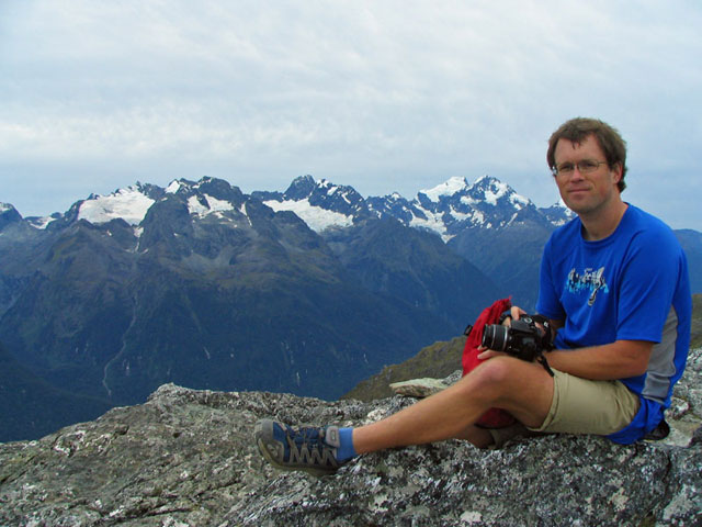
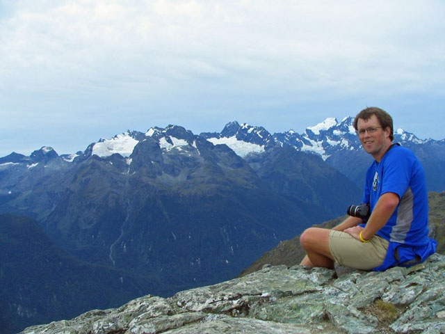
Mike on the summit of Conical Hill with the snow capped peaks behind him.
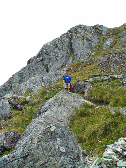
Mike coming down the steep trail from Conical Hill - we left our packs down below at the little shelter.
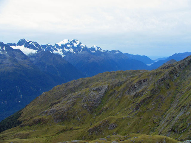
Views across the Hollyford Valley.
Coming down from Conical Hill.
Mike along the trail. The background is Conical Hill where we climbed up to get the amazing views.
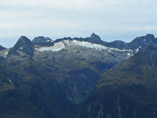
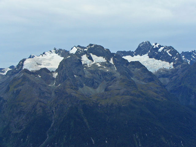
More snow capped peaks.
Definitely something to smile about!
Crystal clear stream along the trail.
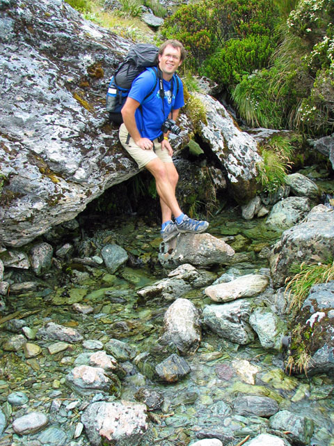
Mike on the rocks around the stream.
Crystal clear stream along the trail.
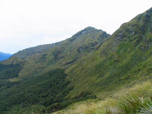
Looking back at the hillside that we've been traversing. Conical hill is the peak furthest back.
Another waterfall along the trail.
Mike in front of the waterfall.
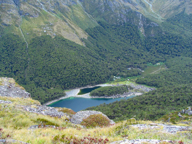
View of Lake Mackenzie, our destination in terms of where we were staying the night before hiking to The Divide.
Looking out over the mountains towards where Milford Sound is (we think!).
The mountains behind Lake Mackenzie.
The mountains behind Lake Mackenzie.
Mike with more mountain vistas.
Mike with more mountain vistas.
Mike with more mountain vistas behind him - this time looking up the valley behind Lake Mackenzie.
Looking up the valley behind Lake Mackenzie.
Mike heading down the trail.
View of Lake Mackenzie down below, and the hut that we stayed at for the night.
Lake Mackenzie and the hut that we stayed at for the night.
Lake Mackenzie and the hut that we stayed at for the night.
Mike on the trail with lots of yellow wildflowers.
As we descend, we re-enter the rain-forest and the lush greenery!

Mike in the lush rain-forest.
Mike in the lush rain-forest.
Mike in the lush rain-forest.
Another waterfall along the trail - one of MANY! This was on our second day of hiking as we headed out towards the trail head.
A waterfall along the trail.
A waterfall along the trail.
A waterfall along the trail.
Earland Falls (174 metres tall!) along the trail as we hiked towards Howden Hut and The Divide on the 2nd morning.
Mike in front of Earland Falls.